


46 km | 51 km-effort


Usuario


Aplicación GPS de excursión GRATIS
 SityTrail
IGN / Institutos geográficos
SityTrail World
El mundo es suyo
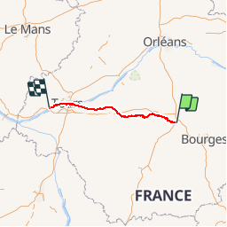
Ruta Otra actividad de 148 km a descubrir en Centro, Cher, Vierzon. Esta ruta ha sido propuesta por Orage.
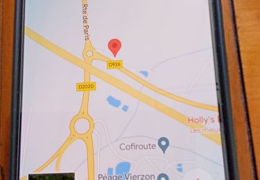
Vierzon au Bec du Cher / Loire par...
Port Péan 11km Châtres 17km Villefranche 30km Chabris 40km Selles 53km St Aignan 70 km Thésée 80km Montrichard 90km Chenonceau 100km Tours 130km Villandry 145km Bec du Cher 148km
Senderismo

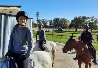
Caballo
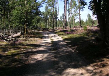
Senderismo
Bici de montaña
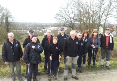
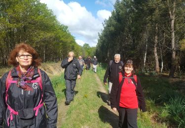
Senderismo