


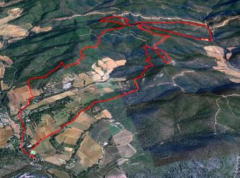
14,3 km | 19,8 km-effort
La Londe-les-Maures : découvrez les meilleures randonnées : 3 a pied, 153 marche, 4 marche nordique et 2 course à pied. Tous ces circuits, parcours, itinéraires et activités en plein air sont disponibles dans nos applications SityTrail pour smartphones et tablettes.
Marche


• .
Marche
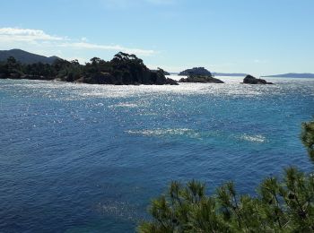
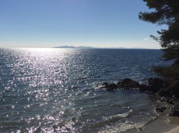
• chemin du litoral
Marche
• boucle

Marche
• Facile
Marche
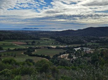
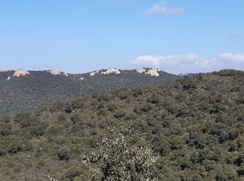
• Belle randonnée avec de superbes points de vue
Marche
Marche
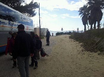
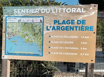
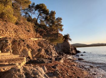
• Départ PK de l'Argentière, plage du Pellegrin, plage de Léoube, cap de Léoube, plage de l'Estagnol, ilot de l'Estagno...
Marche
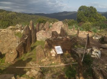
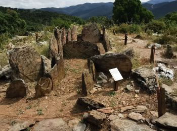
• Très agréable. Découvert en 1876, le dolmen de Gaoutabry est une tombe collective : elle contenait des ossements huma...
Marche
• petite boucle de 6km au depart du hameau de notre dame des anges;la boucle se déroule sur des chemins de défense cont...
Marche
• La monde
Marche
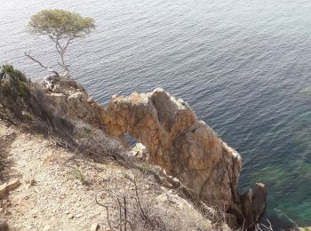
• Littoral méditéranéen.
Marche
• vraiment en promenant.
Marche
• Plage de l'Argentière (La Londe les Maures)-plage du Pellegrin-ilot et pointe du Pellegrin-ilot de Léoube-plage de Lé...
Marche
• Belle randonnée effectuer avec le Touring Club du Var. Le dolmen est classé monument historique et date de 2800 ans a...
Marche
• sympa beaucoup de pistes
Marche
• Dolmen de Gautaby
Marche
Marche
• départ face à l'entrée du golfe très belle rando en balcon sur Hyères et les îles
Marche
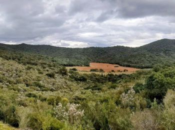
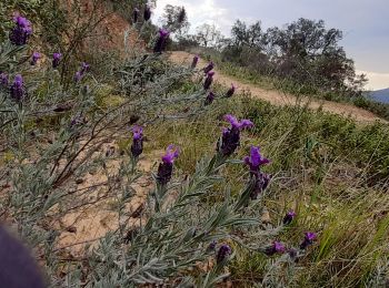
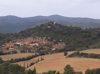
• Ballades entre vignes. Colline et mer.
Marche
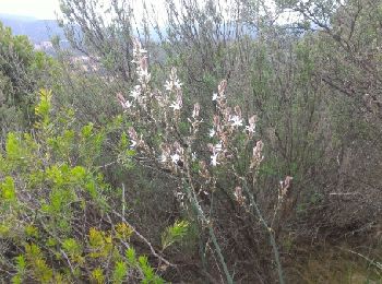
• Dolmen "rénové"....jusqu'à quand? Entre cistes et asphodèles...
20 randonnées affichées sur 161
Application GPS de randonnée GRATUITE
 SityTrail
IGN / Instituts géographiques
SityTrail World
Le monde est à vous