


37 km | 43 km-effort
La Londe-les-Maures : découvrez les meilleures randonnées : 2 vélo, 4 vélo de route, 38 v.t.t., 5 v.t.c. et 5 vélo électrique. Tous ces circuits, parcours, itinéraires et activités en plein air sont disponibles dans nos applications SityTrail pour smartphones et tablettes.
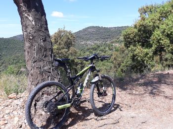
V.T.T.


• Magnifique
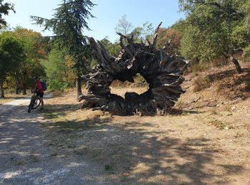
V.T.T.
V.T.T.
• attention à ne pas se tromper dans la partie à double sens
V.T.T.
• attention à ne pas se tromper dans la partie à double sens

V.T.C.
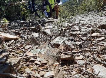
• Piste rocailleuse
Vélo électrique
• Froid
V.T.T.
• De la route pour aller et pour revenir. Sinon de superbes points de vue.
V.T.T.
• Recherche de petite trace, ce qui explique les détours. la trace de retour, Babaou à La Londe est bien a faire dans l...
V.T.T.
• Départ et arrivée à La Londe Les Maures
V.T.C.
V.T.T.
V.T.C.
V.T.T.
• Belle rando circulaire à partir de La Londe, qui grimpe au col de Babaou par le versant Nord avec un retour par le va...
V.T.T.
• Rando circulaire, assez technique, 800 m de dénivelé
V.T.T.
• Rando VTT circulaire départ et retour La Londe, passant par une ancienne mine d'argent. Circuit assez technique
V.T.T.
• Circuit ne présentant pas de difficultés techniques mais il faut une bonne condition physique car il y a de nombreuse...
V.T.T.
V.T.T.
Vélo de route
V.T.T.
20 randonnées affichées sur 51
Application GPS de randonnée GRATUITE
 SityTrail
IGN / Instituts géographiques
SityTrail World
Le monde est à vous