


12,8 km | 15,9 km-effort
Puéchabon : découvrez les meilleures randonnées : 49 marche, 2 course à pied et 5 a pied. Tous ces circuits, parcours, itinéraires et activités en plein air sont disponibles dans nos applications SityTrail pour smartphones et tablettes.

Marche


• Départ randonnée : le départ se situe aux coordonnées suivantes : 43°43'09" N, 03°36'31"E (il y a une place pour se g...

Marche
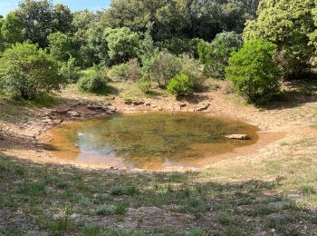
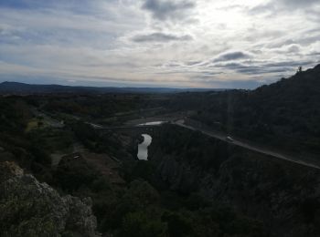
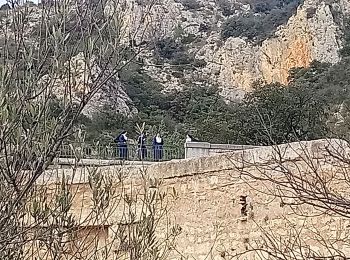
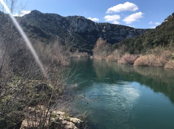
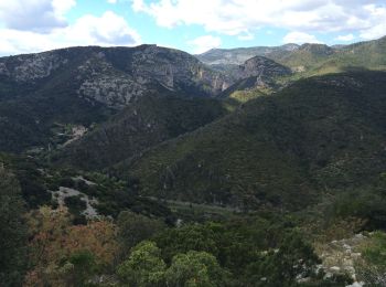
• Randonnée offrant de belles vues sur les gorges de l'Hérault, notamment depuis un belvédère donnant sur Saint-Guilhem...
Marche
Marche
• Facile
Marche
• depart de Puechabon uniquement sur des pistes (trop) sauf pour les 3 km qui surplombent les gorges de l'Herault et S...
Marche
• Un poin de vue dur Saint Guilhem sublime!

A pied
Marche
• Très belle randonnée Pas de difficultées Point de vue splendide A eviter par forte chaleur
Marche
Marche
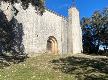
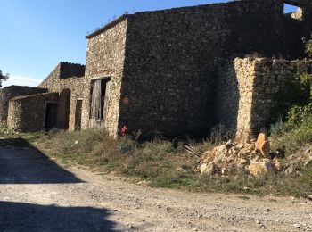
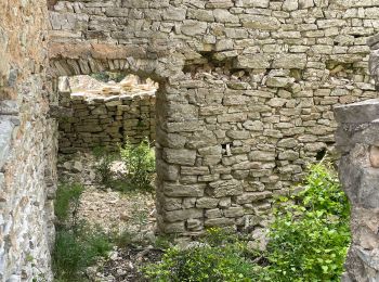
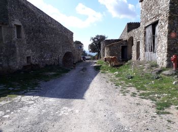
• Rando assez facile De belles vues... Et de belles bâtisses en ruine Possibilités de pique niquer au pont du diable At...
Marche
• reconnaissance Dralha
Marche
• Balade un peu dure sur la remontée de l'Hérault
Marche
• Balade sur de larges chemins avec en point principale, une vue splendide de St Guilhem le désert.

Marche
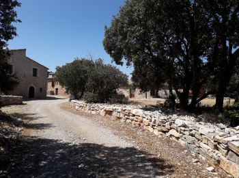
• Boucle à partir de la bergerie neuve à proximité de Puéchabon (accès par une petite route). Peu de dénivelé, randonné...

Marche
• Boucle à partir de la bergerie neuve à proximité de Puéchabon (accès par une petite route). Peu de dénivelé, randonné...

Marche
Marche
• 04/04/2024 groupe marche FC D'après Michel Alaux

Marche
Marche
• belle rando+35 chaud!!!
Marche
• belle rando chaud chaud +34
20 randonnées affichées sur 56
Application GPS de randonnée GRATUITE
 SityTrail
IGN / Instituts géographiques
SityTrail World
Le monde est à vous