


3,3 km | 3,8 km-effort
Genève : découvrez les meilleures randonnées : 93 pédestres et 33 à vélo ou VTT. Tous ces circuits, parcours, itinéraires et activités en plein air sont disponibles dans nos applications SityTrail pour smartphones et tablettes.
A pied


• Symbole: losange jaune
A pied
• Symbole: losange jaune
A pied
• Symbole: losange jaune
A pied
• Symbole: losange jaune
A pied
• Symbole: Diamant jaune

Marche

Vélo
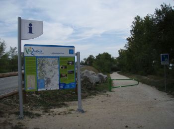
• La Via Rhôna est un aménagement cyclable long de 704 km en cours de réalisation qui doit relier Valleiry au bord du l...
V.T.T.
• La Via Rhôna est un aménagement cyclable long de 704 km en cours de réalisation qui doit relier Valleiry au bord du l...
Autre activité
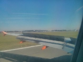
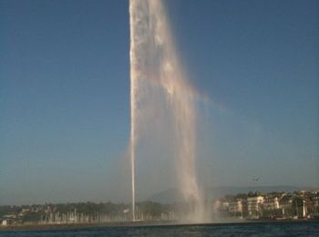
• easyJet

Autre activité
• easyJet

Vélo
Marche
•
Marche
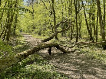
• Tour des Bois de Jussy à Genève Départ près du château d'eau, arrêt de bus "Jussy-Meurets" et retour à ce même arrêt ...
Marche

Autre activité
•
Autre activité
•
Autre activité
•
Marche
•
Marche
•
Marche
•
20 randonnées affichées sur 155
Application GPS de randonnée GRATUITE
 SityTrail
IGN / Instituts géographiques
SityTrail World
Le monde est à vous