


4,5 km | 5,8 km-effort
Arrondissement administratif de Haute-Argovie : découvrez les meilleures randonnées : 28 pédestres. Tous ces circuits, parcours, itinéraires et activités en plein air sont disponibles dans nos applications SityTrail pour smartphones et tablettes.
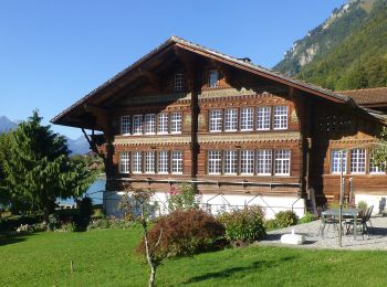
A pied


• Randonnée créée par Verein Berner Wanderwege.
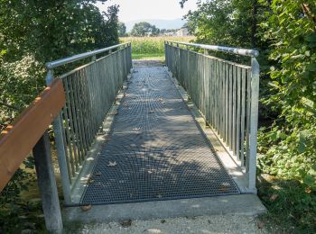
A pied
• Randonnée créée par Verein Berner Wanderwege.

A pied
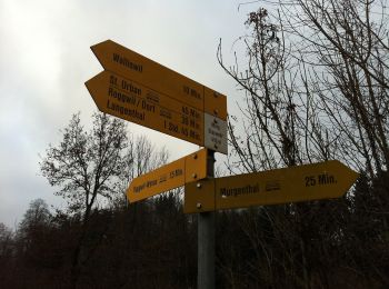
• Symbole: gelber Rhombus
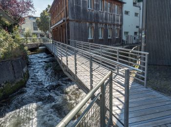
A pied
• Symbole: gelber Rhombus
A pied
• Symbole: gelbe Raute
A pied
• Langenthal - Hohwacht Symbole: gelbe Raute
A pied
• Wynau Kirche - Aarwangen Schloss Symbole: gelber Diamant
A pied
• Symbole: weiss-rot-weiss
A pied
• Symbole: gelbe Raute
A pied
• Kaltenherberg - Wynau Symbole: gelbe Raute
A pied
• St. Urban - Zankhölzli- Haslibrunnen Symbole: gelbe Raute
A pied
• Randonnée créée par Verein Berner Wanderwege.
A pied
• Randonnée créée par Verein Berner Wanderwege.

A pied
• Randonnée créée par Verein Berner Wanderwege. Symbole: gelber Rhombus
A pied
• Symbole: gelbe Raute
A pied
• Randonnée créée par Luzerner Wanderwege. Hegen - Ob. Hiferdingen Symbole: gelber Rhombus
A pied
• Randonnée créée par Luzerner Wanderwege. Gondiswil - Ob. Hiferdingen Symbole: gelber Rhombus
A pied
• Huttwilerberg - Hohwacht Symbole: gelbe Raute
A pied
• Symbole: gelbe Raute
A pied
• Melchnau - Langenthal Symbole: gelber Rhombus
20 randonnées affichées sur 33
Application GPS de randonnée GRATUITE
 SityTrail
IGN / Instituts géographiques
SityTrail World
Le monde est à vous