


14,9 km | 17,1 km-effort
Saint-Michel-sur-Orge : découvrez les meilleures randonnées : 19 pédestres et 5 à vélo ou VTT. Tous ces circuits, parcours, itinéraires et activités en plein air sont disponibles dans nos applications SityTrail pour smartphones et tablettes.
Marche


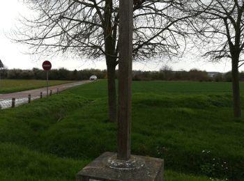
• Partie passant au dessus de la N104 épouvantable déchèterie a ciel ouvert
Marche
• Boucle au départ de Saint Michel sur Orge vers la basilique de Longpont, puis le champ de bataille, pour arriver au...
Marche
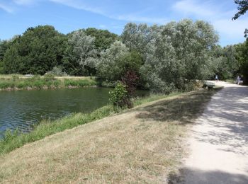
• Après avoir longé les étangs et le parc du château du Lormoy, cet itinéraire passe devant la basilique de Longpont su...
Marche
• facile

Marche
• RANDO CATTP.
Marche
• CV 45 km parking 48,63450 2,29743
Marche
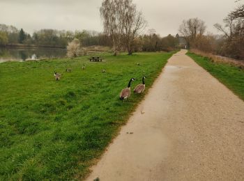
• Plan d'eau
Marche
Marche
Marche
Marche
Marche

Marche
Marche

A pied
Marche
Marche

V.T.T.
V.T.T.
V.T.T.
20 randonnées affichées sur 23
Application GPS de randonnée GRATUITE
 SityTrail
IGN / Instituts géographiques
SityTrail World
Le monde est à vous