


17,2 km | 23 km-effort
Mazan-l'Abbaye : découvrez les meilleures randonnées : 26 pédestres, 2 à vélo ou VTT et 6 parcours équestres. Tous ces circuits, parcours, itinéraires et activités en plein air sont disponibles dans nos applications SityTrail pour smartphones et tablettes.
Marche


Cheval
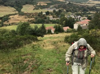
• Boucle Le Bouteirou - Mont Gerbier de Jonc – Etape 1 Découverte de la Montagne Ardéchoise des Hautes Cévennes aux crê...

V.T.T.
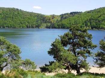
• Boucle Le Bouteirou - Mont Gerbier de Jonc – Etape 1 Découverte de la Montagne Ardéchoise des Hautes Cévennes aux crê...
Marche
• Boucle Le Bouteirou - Mont Gerbier de Jonc – Etape 1 Découverte de la Montagne Ardéchoise des Hautes Cévennes aux crê...

Marche
• 1er
Marche
• Rando du 27/09/2021
Marche
• Rando du 16/09/2019 modifiée pour supprimer la route à l'arrivée. Reconnaissance effectuée pour valider le passage

Randonnée équestre
• Au niveau des éoliennes, long passage étroit entre les fils
Marche
• Rando du 16/09/2019
Marche
• Facile
Randonnée équestre
• pas de pluie
Marche
• Rando du 9/10/2017
Marche
• rando du 9-10-17
Marche
•
Marche
Marche
Marche

 21.086
sport
29.048
sport
28.887
sport
20 randonnées affichées sur 38
Application GPS de randonnée GRATUITE
 SityTrail
IGN / Instituts géographiques
SityTrail World
Le monde est à vous