


16,5 km | 24 km-effort
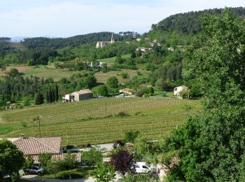
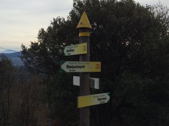
Sanilhac : découvrez les meilleures randonnées : 32 pédestres, 5 à vélo ou VTT et 1 parcours équestres. Tous ces circuits, parcours, itinéraires et activités en plein air sont disponibles dans nos applications SityTrail pour smartphones et tablettes.
Marche


Marche
V.T.T.
•
Marche
Marche
Marche
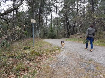
Marche
• balade assez ombragée dans la vallée du Pezenas et montée au Blachiz
Marche

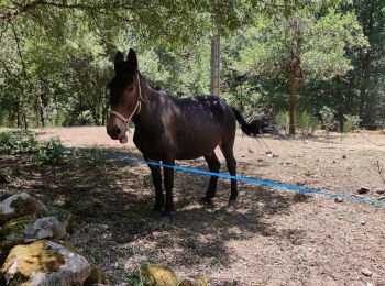
Cheval
• 123km 4 à 6 jours. Boucle variée au relief escarpé qui associe un climat de campagne au nord avec ses forêts de coni...

Marche
• Boucle anti horaire.
Marche
• Rando bp 12/01/2021 Alexandre
Marche
• départ pont du Gua
Marche
Marche
• marqué "difficile" uniquement pour le départ jusqu'à la tour de Brison qui emprunte 1 montée raide dans le rocher. Mi...

V.T.T.
• remontée de la vallée de la Beaume VTT électrique
Vélo
• En vtt électrique un bon tour
Marche
Marche
Marche
• montée au rocher et suite sur Grand Ubac

Marche nordique
• 20/10/15
20 randonnées affichées sur 38
Application GPS de randonnée GRATUITE
 SityTrail
IGN / Instituts géographiques
SityTrail World
Le monde est à vous