


13,8 km | 33 km-effort
Celliers : découvrez les meilleures randonnées : 31 pédestres. Tous ces circuits, parcours, itinéraires et activités en plein air sont disponibles dans nos applications SityTrail pour smartphones et tablettes.
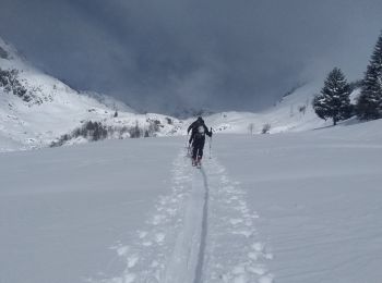
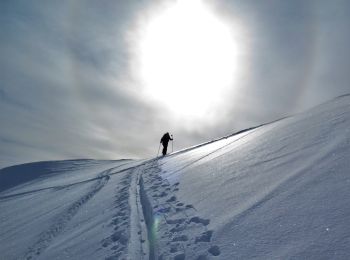
Ski de randonnée


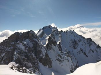
Ski de randonnée
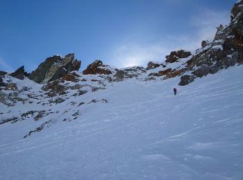
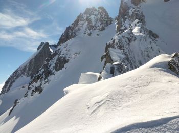
• 150m à 40 degrés
Ski de randonnée
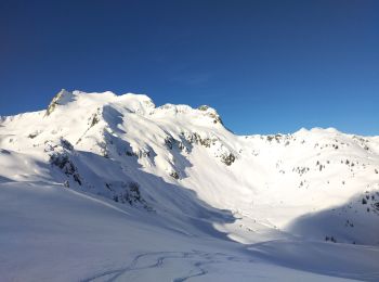
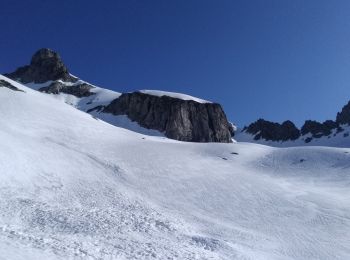
• Petite sortie, avec de la neige fraîche !
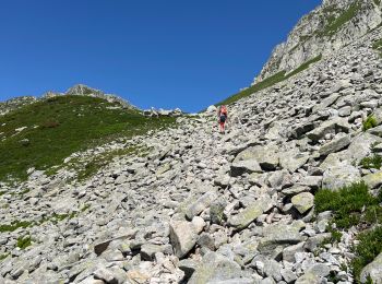
Marche
• Traversée pour ce beau sommet en extrémité du massif de la Maurienne. Le départ à partir du Col de la Madeleine empru...
Marche
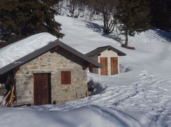
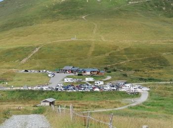
• Toujours une randonnée classique du massif depuis l'arrivée du télécabine en boucle avec redescente au village par le...
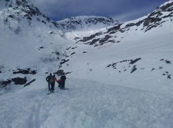
Raquettes à neige
• Belle rando faite par grand beau temps ; peu de monde, surtout des randonneurs à skis. Très belle vue au niveau du pe...
Ski de randonnée
• de Celliers, combe du plan descente Combe de bridan
Ski de randonnée
• départ Celliers
Marche
• Très facile. Temps calculé avec un enfant de 4 ans. Prévoir 2h30
Ski de randonnée
Marche
Ski de randonnée
Ski de randonnée

Ski de randonnée
• Rando très variée a faire dans ce sens
Ski de randonnée
• ski
Ski de randonnée
• 1450 d+

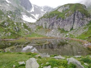
Marche
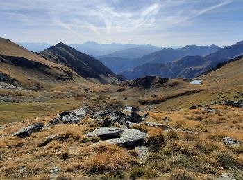
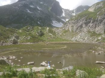
• lac branlay

Marche
Marche
Marche
• belle rando sportive
20 randonnées affichées sur 66
Application GPS de randonnée GRATUITE
 SityTrail
IGN / Instituts géographiques
SityTrail World
Le monde est à vous