


9,2 km | 14,6 km-effort
Onnion : découvrez les meilleures randonnées : 27 pédestres et 22 à vélo ou VTT. Tous ces circuits, parcours, itinéraires et activités en plein air sont disponibles dans nos applications SityTrail pour smartphones et tablettes.

Marche


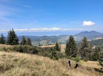
• Jolie balade autour de la Pointe de Miribel. Permet d'apercevoir le Lac Léman.
Marche
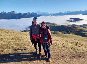
• randonnée superbe
Marche
V.T.T.
• Variante de notre tour par le retour de La Glappaz par le Col du Cfreux et non pas vers la piste menant à La Fully.

Vélo de route
• super
V.T.T.
• difficile
V.T.T.
• tour avec litchi
V.T.T.
• mejevette
Marche
• terrain enneigé

Ski de randonnée
• Depuis Plaine-Joux.

Raquettes à neige
• Belle rando...bonne neige....que du Bonheur...
V.T.T.
• Par La Bray et le Paturage es Jottis

Voiture
• Restaurant l'Alpage 4963 route de Plaine Joux 74250 Bogève
A pied

Course à pied
• Trail de la Pointe 2014
Trail
Trail
Marche
Marche
Marche
20 randonnées affichées sur 59
Application GPS de randonnée GRATUITE
 SityTrail
IGN / Instituts géographiques
SityTrail World
Le monde est à vous