


19,7 km | 22 km-effort
Vallon-en-Sully : découvrez les meilleures randonnées : 13 à vélo ou VTT. Tous ces circuits, parcours, itinéraires et activités en plein air sont disponibles dans nos applications SityTrail pour smartphones et tablettes.

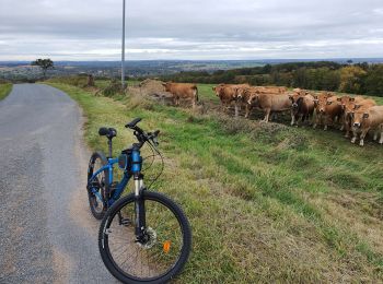
V.T.T.


• Découverte de Ste Vitte et retour par Epineuil
V.T.T.
Cyclotourisme
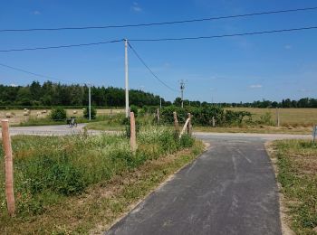
V.T.T.
Vélo

V.T.C.
• une jolie balade
V.T.C.
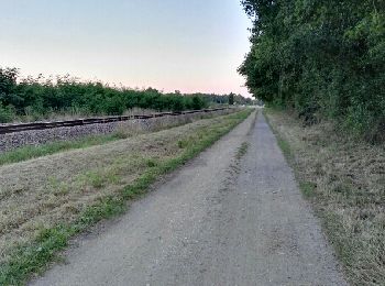
V.T.T.
V.T.T.
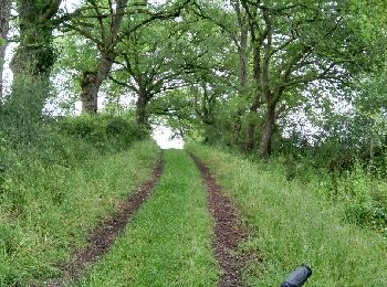
V.T.T.
V.T.T.
V.T.C.
V.T.T.
13 randonnées affichées sur 13
Application GPS de randonnée GRATUITE
 SityTrail
IGN / Instituts géographiques
SityTrail World
Le monde est à vous