


75 km | 90 km-effort
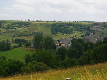
Laguiole : découvrez les meilleures randonnées : 91 pédestres, 5 à vélo ou VTT et 1 parcours équestres. Tous ces circuits, parcours, itinéraires et activités en plein air sont disponibles dans nos applications SityTrail pour smartphones et tablettes.
Vélo


• Circuit proposé par le Comité Départemental de Tourisme de l'Aveyron. Départ de Laguiole. Au cœur des hautes terres d...

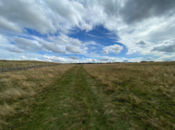
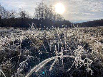
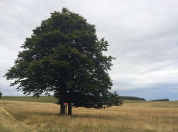
Marche
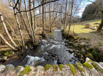
• Passage impossible du ruisseau au Km 6 en période humide possibilité de descendre par les pistes au km 4.5 pour rejoi...
Marche
Marche
Marche
• Belle randonnée
Marche
• Randonnée sympathique au départ de laguiole environ 13km facile à travers les montagnes accessible au VTT petite vari...
A pied
Marche
Marche
• très belle randonnée passant à Solages Boneval, chateau le Bousquet
Marche

Marche
• Départ du petit rond point au centre de Laguiole. Après une montée sur une petite route avant la traversée de la forê...
Marche
Marche
Marche
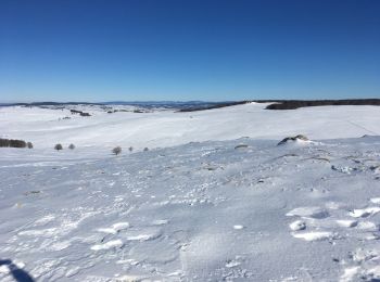
• Piste raquettes
Marche
Marche
Marche
Marche
• de Laguiole à Saint Urcize
Marche
Marche
• le tour des monts d"aubrac
20 randonnées affichées sur 105
Application GPS de randonnée GRATUITE
 SityTrail
IGN / Instituts géographiques
SityTrail World
Le monde est à vous