Villandraut, Gironde : Les meilleures randonnées, itinéraires, parcours, balades et promenades

Villandraut : découvrez les meilleures randonnées : 6 pédestres et 1 à vélo ou VTT. Tous ces circuits, parcours, itinéraires et activités en plein air sont disponibles dans nos applications SityTrail pour smartphones et tablettes.


Les meilleurs parcours (8)

Randonnée A pied Villandraut - Boucle locale de Villandraut - Photo
A pied 6.203
Km
PRO

A pied

Facile
Villandraut, Nouvelle-Aquitaine, Gironde, France
6,2 km | 6,8 km-effort
1h 33min
48 m
49 m
Non
SityTrail - itinéraires balisés pédestres

Randonnée Canoë - kayak Villandraut - Descente du coton - Photo
Canoë - kayak 19.448
Km

Canoë - kayak

Très facile
Villandraut, Nouvelle-Aquitaine, Gironde, France
19,4 km | 21 km-effort
4h 13min
99 m
118 m
Non
PVERTICAL

• De villandrau à usine produits chimiques du ciron

Randonnée Marche Villandraut - Villandraut - Photo
Marche 11.858
Km

Marche

Villandraut, Nouvelle-Aquitaine, Gironde, France
11,9 km | 13,2 km-effort
3h 4min
102 m
103 m
Oui
jcbodel

• Marche

Randonnée Marche Villandraut - Villandrau PNL - Photo
Marche 9.503
Km

Marche

Villandraut, Nouvelle-Aquitaine, Gironde, France
9,5 km | 10,6 km-effort
2h 34min
85 m
86 m
Oui
20LTh

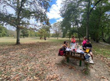
• Bonne rando pas de difficultés

Randonnée Marche Villandraut - Villandraut - Photo
Marche 14.449
Km

Marche

Très facile
Villandraut, Nouvelle-Aquitaine, Gironde, France
14,4 km | 16,4 km-effort
6h 2min
144 m
144 m
Oui
frandominic

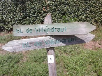
• de Villandraut à Uzeste avec un peu de Ciron

Randonnée Marche Villandraut - Uzeste - Photo
Marche 9.75
Km

Marche

Très facile
Villandraut, Nouvelle-Aquitaine, Gironde, France
9,8 km | 10,9 km-effort
2h 44min
85 m
81 m
Oui
bouscat110

Randonnée V.T.T. Villandraut - Villandraut - Photo
V.T.T. 29.965
Km

V.T.T.

Moyen
Villandraut, Nouvelle-Aquitaine, Gironde, France
30 km | 34 km-effort
1h 54min
276 m
276 m
Oui
davidanquetil

Randonnée Marche Villandraut - Villandraut Uzeste  - Photo
Marche 12.36
Km

Marche

Facile
Villandraut, Nouvelle-Aquitaine, Gironde, France
12,4 km | 13,8 km-effort
2h 28min
107 m
107 m
Oui
Marcel-le-cycliste

8 randonnées affichées sur 8

Application GPS de randonnée GRATUITE

Logo SityTrail SityTrail

IGN / Instituts géographiques

Télécharger SityTrail sur l'App Store Télécharger SityTrail sur Google Play

Logo SityTrail SityTrail World

Le monde est à vous

Télécharger SityTrail sur l'App Store Télécharger SityTrail sur Google Play Télécharger SityTrail sur Huawei AppGallery

Activités

Fermer
Mes abonnements