


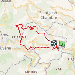


23 km | 35 km-effort


Utilisateur


Application GPS de randonnée GRATUITE
 SityTrail
IGN / Instituts géographiques
SityTrail World
Le monde est à vous
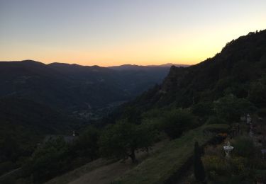
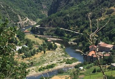
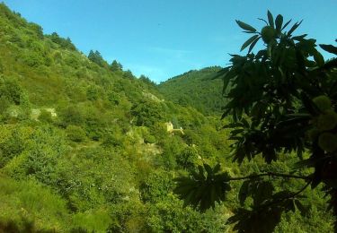
Randonnée Marche de 15,6 km à découvrir à Auvergne-Rhône-Alpes, Ardèche, Chalencon. Cette randonnée est proposée par choubaka77.
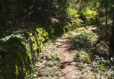
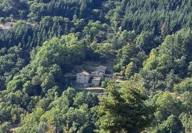
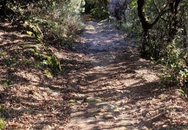
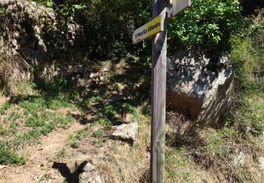
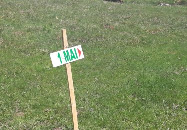
Très beau circuit de randonnée avec un petit bémol sur le tracé du GRP qui n'est pas top au niveau de l'entretien. À déconseiller avec de jeunes enfants, ados au minimum et vous risquez de les entendre......


21 photos au total. Cliquez sur une photo pour les afficher toutes dans la galerie.
Marche
Marche
Marche
Marche
Marche
Marche
Marche
Marche

Randonnée équestre