


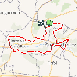

18,2 km | 22 km-effort


Utilisateur


Application GPS de randonnée GRATUITE
 SityTrail
IGN / Instituts géographiques
SityTrail World
Le monde est à vous
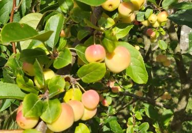
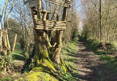
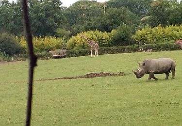
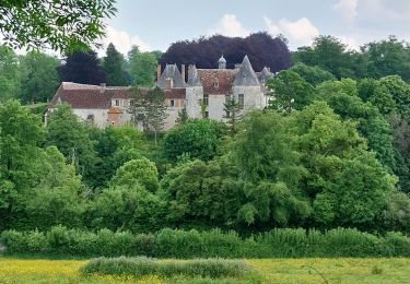
Randonnée V.T.T. de 17,4 km à découvrir à Normandie, Calvados, Hermival-les-Vaux. Cette randonnée est proposée par tracegps.
Circuit varié à faire par temps sec.

Marche
Marche
Marche
Marche
Marche
Marche

Marche
Marche