


12,3 km | 25 km-effort


Utilisateur


Application GPS de randonnée GRATUITE
 SityTrail
IGN / Instituts géographiques
SityTrail World
Le monde est à vous
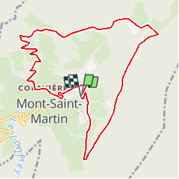
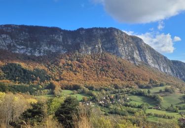
Randonnée Marche de 5,5 km à découvrir à Auvergne-Rhône-Alpes, Isère, Mont-Saint-Martin. Cette randonnée est proposée par tracegps.
Ce circuit fait partie des 10 circuits proposés par la Communauté de Communes du Balcon Sud de la Chartreuse. Départ du hameau de Namière à Mont-saint-Martin. Retrouvez cette randonnée sur le site de la communauté de communes.


Marche

Vélo électrique

Marche
Marche
Marche
Marche
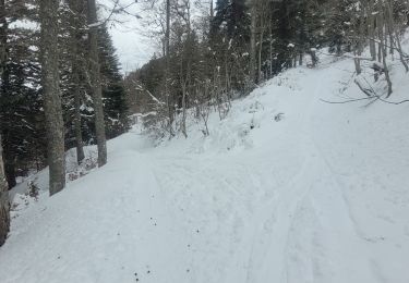
Ski de randonnée
Marche
Marche
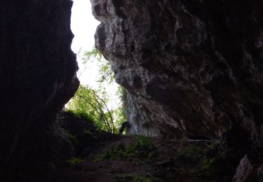
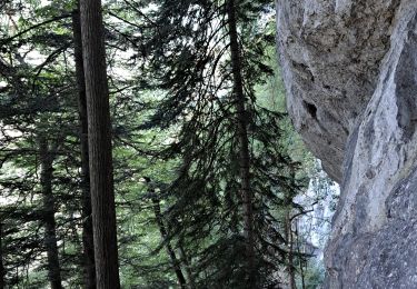
Petite rando très sympa, idéale avec des enfants. Passage à côté d'une ferme de daims.