


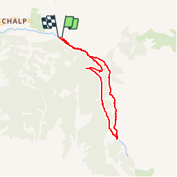

7,2 km | 11 km-effort

Utilisateur GUIDE


Application GPS de randonnée GRATUITE
 SityTrail
IGN / Instituts géographiques
SityTrail World
Le monde est à vous
Randonnée Marche de 6,1 km à découvrir à Provence-Alpes-Côte d'Azur, Hautes-Alpes, Crévoux. Cette randonnée est proposée par R@ph.
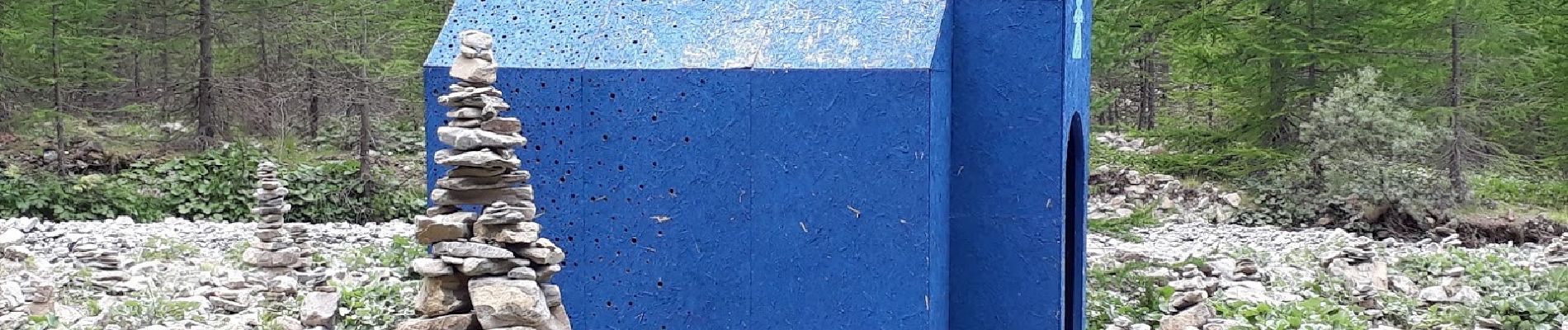
Petite balade sur le parcours des fées, une parcours artistique et poétique sur le sentier en direction de la cascade de Razis. Le circuit en boucle propose une vingtaine d’oeuvres dans le décor naturel sauvage du fond de la vallée de Crévoux.
Une randonnée artistique facile et accessible


Marche

Autre activité

Marche

Marche

Marche
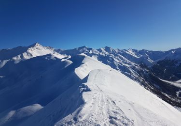
Ski de randonnée
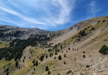
Marche
Marche
Ski de randonnée