


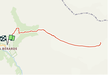


9,8 km | 27 km-effort

Utilisateur


Application GPS de randonnée GRATUITE
 SityTrail
IGN / Instituts géographiques
SityTrail World
Le monde est à vous
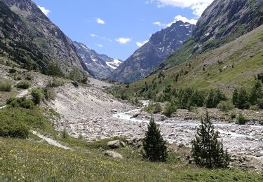
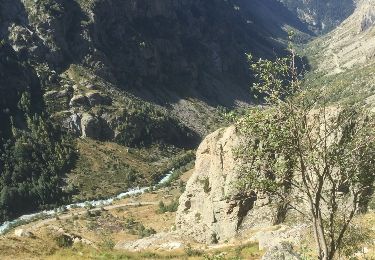
Randonnée Marche de 11,4 km à découvrir à Auvergne-Rhône-Alpes, Isère, Saint-Christophe-en-Oisans. Cette randonnée est proposée par franck38.
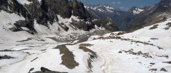
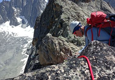
Au départ de la Bérarde, massif des Écrins, jusqu'a la station météo de la Crique Glaciaire de Bonne Pierre


Marche
Marche

Marche

Marche

Marche

Marche

Marche
Marche

Marche