


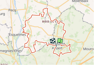


23 km | 27 km-effort

Randonnez sur et autour des GR ® wallons (Sentiers de Grande Randonnée). PRO


Application GPS de randonnée GRATUITE
 SityTrail
IGN / Instituts géographiques
SityTrail World
Le monde est à vous
Randonnée Marche de 23 km à découvrir à Wallonie, Hainaut, Tournai. Cette randonnée est proposée par GR Rando.
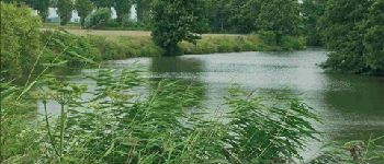
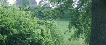
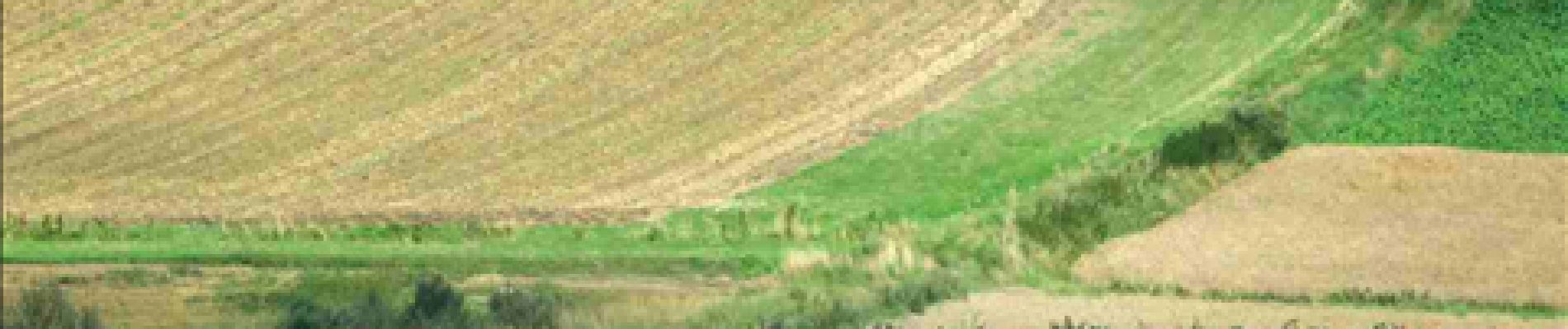
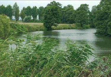
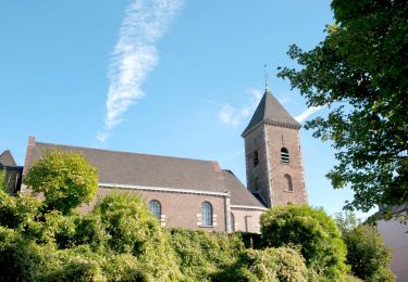
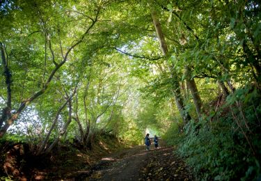
La colline emblématique du Tournaisis et ses flancs vous offriront leurs panoramas et leurs sentiers ou chemins que vous sillonnerez, dévalerez ou grimperez. Vos pas vous mèneront à travers une campagne aux hameaux et fermes dispersés vers l’Escaut et sa coupure (ancien méandre du fleuve) de Léaucourt. Vous découvrirez une campagne discrète et modeste qui ne manque pas de charme.


Marche
A pied
A pied

Marche

Randonnée équestre
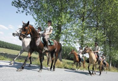
Cheval

V.T.T.
A pied

A pied