


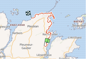

12,2 km | 15,8 km-effort


Utilisateur


Application GPS de randonnée GRATUITE
 SityTrail
IGN / Instituts géographiques
SityTrail World
Le monde est à vous
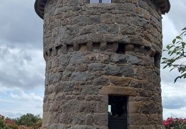
Randonnée Marche de 22 km à découvrir à Bretagne, Côtes-d'Armor, Lézardrieux. Cette randonnée est proposée par JMCMoreau.
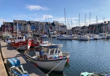
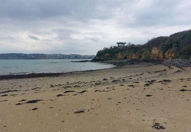
Depuis la crêperie du Moulin à mer de Traou Bihan (Lézardrieux)- jusqu'à la plage de Kermagen (Pleubian).
Le parking est un terrain à proximité de la plage.
6h30 sans pause.
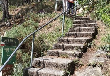
Marche

Marche

Marche
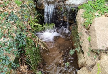
Marche
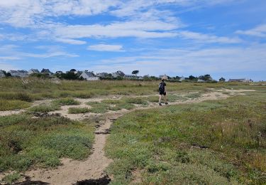
Marche
Marche
Marche
Marche
Marche