


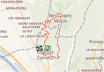

12,3 km | 25 km-effort


Utilisateur


Application GPS de randonnée GRATUITE
 SityTrail
IGN / Instituts géographiques
SityTrail World
Le monde est à vous
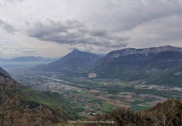
Randonnée Marche de 9,2 km à découvrir à Auvergne-Rhône-Alpes, Isère, Fontanil-Cornillon. Cette randonnée est proposée par floup6138.
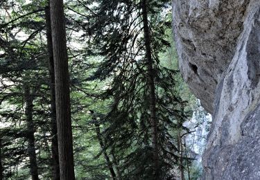
des écarts par rapport au tracé théorique des chemins inexistants ou non repérés. pente moyenne importante.

Marche

Vélo électrique

Marche
Marche
Ski de randonnée
Marche
Marche
Marche
Marche