


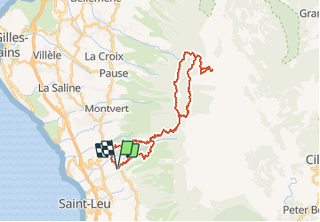

15,8 km | 28 km-effort


Utilisateur


Application GPS de randonnée GRATUITE
 SityTrail
IGN / Instituts géographiques
SityTrail World
Le monde est à vous
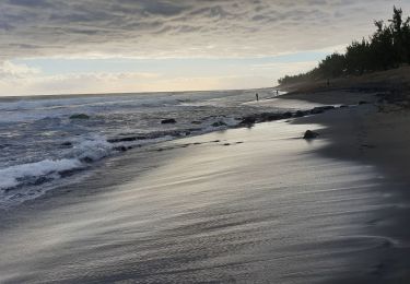
Randonnée Vélo électrique de 49 km à découvrir à La Réunion, Inconnu, Saint-Leu. Cette randonnée est proposée par Thierry Boisselier.
Aller par la route. Retour par route forestière très défoncée et difficile.
Tombé en panne à 1km de l'arrivée avec batterie 500 !
Marche
Marche

V.T.T.
Marche
Marche

Marche

V.T.T.
Marche