


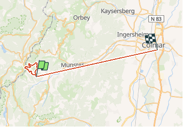

23 km | 36 km-effort

Utilisateur

Application GPS de randonnée GRATUITE
 SityTrail
IGN / Instituts géographiques
SityTrail World
Le monde est à vous
Randonnée Marche de 41 km à découvrir à Grand Est, Haut-Rhin, Metzeral. Cette randonnée est proposée par Schaff.
Montée raide et dangereuse. A éviter jour de pluie et interdit en Hiver


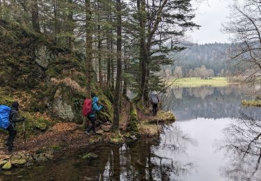
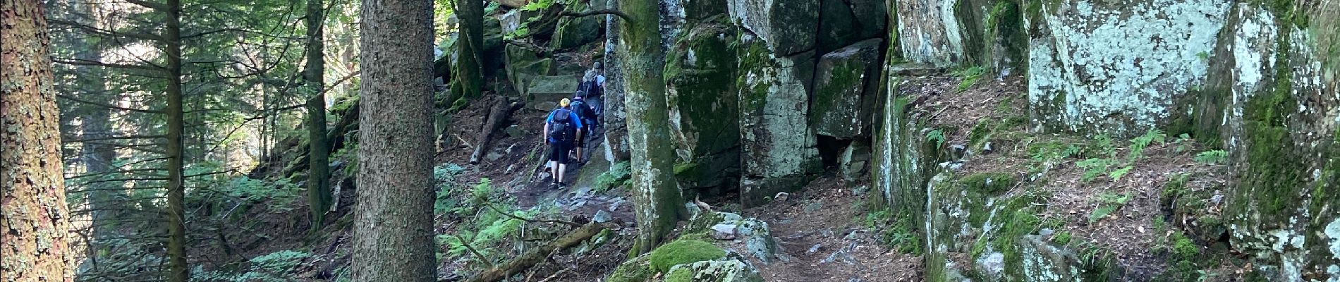
Marche
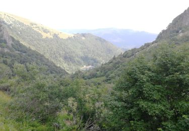
Marche

Marche

Marche

Marche

Marche

Raquettes à neige

V.T.T.

Marche