


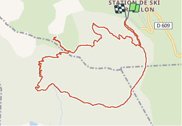

14 km | 25 km-effort

Utilisateur GUIDE


Application GPS de randonnée GRATUITE
 SityTrail
IGN / Instituts géographiques
SityTrail World
Le monde est à vous
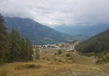
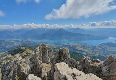
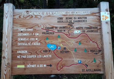
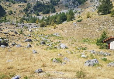
Randonnée Marche de 7,3 km à découvrir à Provence-Alpes-Côte d'Azur, Hautes-Alpes, Réallon. Cette randonnée est proposée par thonyc.
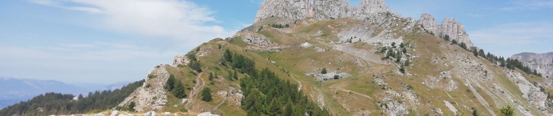
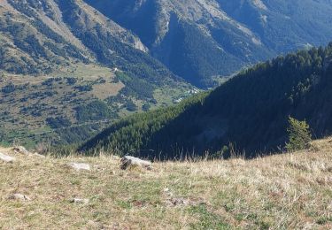
Très jolie randonnée sans difficulté particulière avec de très beaux panoramas.
Possibilité de prolonger l'aller-retour jusqu'au chalet au pied des aiguilles de Chabrières


Marche
Marche

Marche
Marche
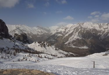
Raquettes à neige
Marche

Marche
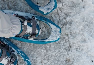
Raquettes à neige
Marche