


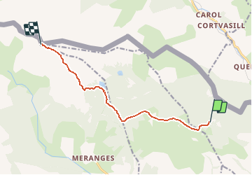

11,9 km | 21 km-effort


Utilisateur


Application GPS de randonnée GRATUITE
 SityTrail
IGN / Instituts géographiques
SityTrail World
Le monde est à vous
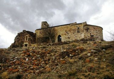
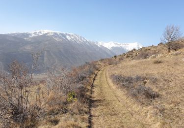
Randonnée A pied de 9,3 km à découvrir à Catalogne, Gérone, Guils de Cerdanya. Cette randonnée est proposée par ign020920.
Marche
Marche
Marche
Marche

Marche
Marche
Marche
Trail

A pied