


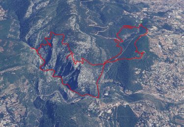
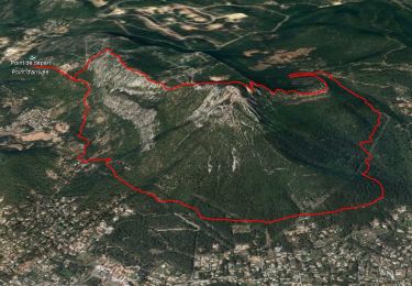
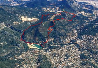
11,8 km | 19,3 km-effort

Utilisateur GUIDE


Application GPS de randonnée GRATUITE
 SityTrail
IGN / Instituts géographiques
SityTrail World
Le monde est à vous
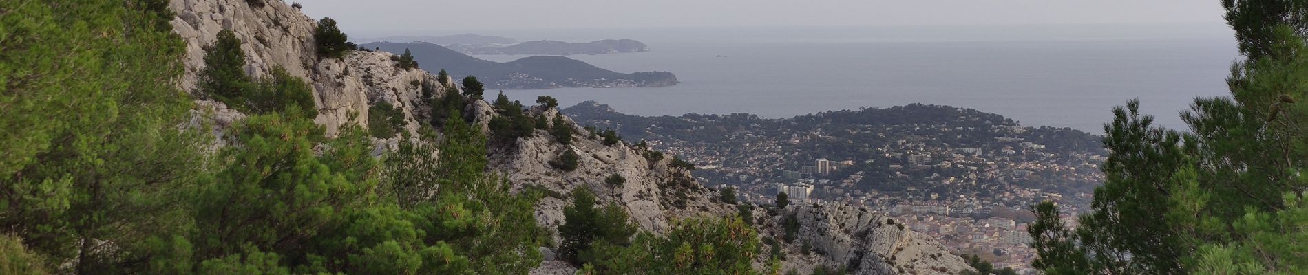
Randonnée Marche de 6,5 km à découvrir à Provence-Alpes-Côte d'Azur, Var, Toulon. Cette randonnée est proposée par affinetataille.
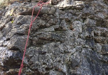
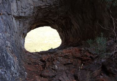
La montée entre la tour de l'ubac et l'antenne est assez difficile.
Plusieurs passages ou il faut "mettre les mains"
La descente depuis la tour de l'hubac vers le chemin de l'hubac est assez raide et se fait en partie dans des éboulis.


Marche
Marche
Marche
Marche
Marche

Marche
Marche

Marche
Marche