Randonnée Marche Benais - BENAIS - Photo
 micka2
micka2

Utilisateur

© OpenStreetMap contributors
Longueur
Longueur
13 km
Altitude max
Altitude max
105 m
Dénivelé positif
Dénivelé positif
170 m
Km-Effort
Km-Effort  
15,3 km
Altitude min
Altitude min
36 m
Dénivelé négatif
Dénivelé négatif
170 m
Boucle
Boucle
Oui
Date de création :
2014-12-10 00:00:00.0
Dernière modification :
2014-12-10 00:00:00.0

(0 Avis)

Marche
Marche
2h48
Difficulté : Facile

Scannez ce code QR pour ouvrir la randonnée dans l'application SityTrail

Application GPS de randonnée GRATUITE

Logo SityTrail SityTrail

IGN / Instituts géographiques

Télécharger SityTrail sur l'App Store Télécharger SityTrail sur Google Play

Logo SityTrail SityTrail World

Le monde est à vous

Télécharger SityTrail sur l'App Store Télécharger SityTrail sur Google Play Télécharger SityTrail sur Huawei AppGallery

À propos

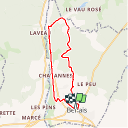
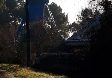
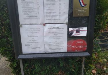
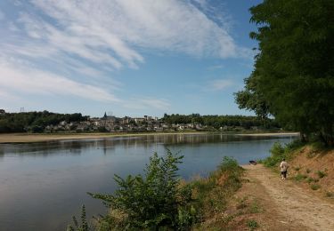
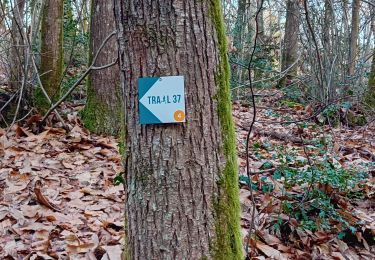
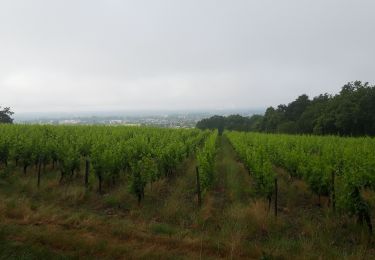
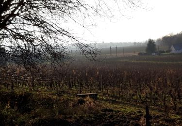
Randonnée Marche de 13 km à découvrir à Centre-Val de Loire, Indre-et-Loire, Benais. Cette randonnée est proposée par micka2.

Description

08 avril 2014

Profil altimétrique

Photos

Points d'intérêt

Point d'intérêt Benais - coteaux - Photo
micka2
BENAIS 

Localisation

Pays :
France
Région :
Centre-Val de Loire
Département/Province :
Indre-et-Loire
Commune :
Benais
Localité :
Unknown
Départ:(Dec)
Départ:(UTM)
289235 ; 5241925 (31T) N.

Randonnées à proximité

Randonnée V.T.T. Bourgueil - LA BUTTE A CHÉRON - Photo
V.T.T.
laoj

V.T.T.

Moyen
(1)
Bourgueil, Centre-Val de Loire, Indre-et-Loire, France
23 km | 27 km-effort
1h 47min
Oui
Randonnée Marche Bourgueil - Bourgueil - GRP Coteaux de Bourgueil - 26.7km 150m 5h55 (45mn) - 2023 05 06 - Photo
Marche
Orcal37

Marche

Facile
Bourgueil, Centre-Val de Loire, Indre-et-Loire, France
27 km | 29 km-effort
5h 55min
Oui
Randonnée Marche Bourgueil - Bourgueil C - Photo
Marche
Ennis

Marche

Facile
Bourgueil, Centre-Val de Loire, Indre-et-Loire, France
8,9 km | 10,5 km-effort
1h 41min
Oui
Randonnée Marche Bourgueil - bourgueil 18 - Photo
Marche
fustier

Marche

Facile
Bourgueil, Centre-Val de Loire, Indre-et-Loire, France
39 km | 43 km-effort
5h 54min
Non
Randonnée Vélo électrique Bourgueil - boucle 22 à partir de Bourgueil - Photo
Vélo électrique
EricVIBERT

Vélo électrique

Très facile
Bourgueil, Centre-Val de Loire, Indre-et-Loire, France
48 km | 51 km-effort
3h 21min
Non
Randonnée Marche Bourgueil - Bourgueil dont trail (4) 10 km - Photo
Marche
Ennis

Marche

Difficile
Bourgueil, Centre-Val de Loire, Indre-et-Loire, France
13,6 km | 16,6 km-effort
2h 10min
Oui
Randonnée Marche Bourgueil - forêt Bourgueil 100623 - Photo
Marche
Ennis

Marche

Moyen
Bourgueil, Centre-Val de Loire, Indre-et-Loire, France
8,3 km | 10 km-effort
1h 24min
Oui
Randonnée V.T.T. Bourgueil - Bourgueuil 2022 - Photo
V.T.T.
pates_au_chaud

V.T.T.

Moyen
Bourgueil, Centre-Val de Loire, Indre-et-Loire, France
34 km | 41 km-effort
3h 10min
Oui
Randonnée Marche Benais - Benais - Photo
Marche
Ennis

Marche

Facile
Benais, Centre-Val de Loire, Indre-et-Loire, France
10,4 km | 12,1 km-effort
2h 5min
Oui


Fermer
Mes abonnements