


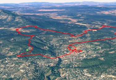
12,1 km | 16,5 km-effort

Utilisateur


Application GPS de randonnée GRATUITE
 SityTrail
IGN / Instituts géographiques
SityTrail World
Le monde est à vous
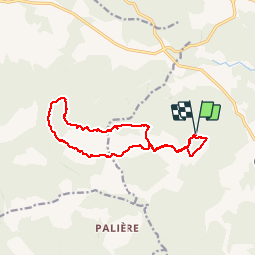
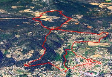
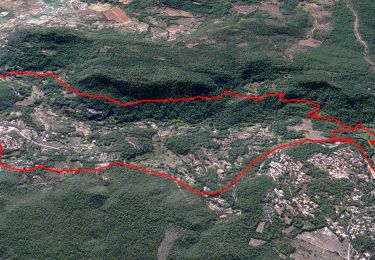
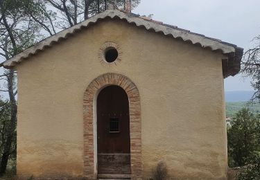
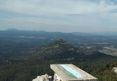
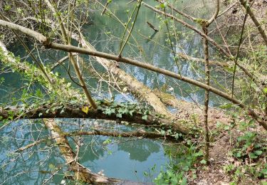
Randonnée Marche de 15,2 km à découvrir à Provence-Alpes-Côte d'Azur, Var, Cotignac. Cette randonnée est proposée par Sugg.
Rando de Restons en Forme du 16 avril 2014 sous la baguette de Pierre.
Beau parcours, la première montée très raide, ainsi que la descente après le sommet du Gros Bessillon ne sont pas sur la carte, mais bien présentes sur le terrain.


Marche
Marche
Marche
Marche
Marche
Marche
Marche
Marche
Marche