


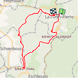

15,1 km | 19,2 km-effort

Utilisateur


Application GPS de randonnée GRATUITE
 SityTrail
IGN / Instituts géographiques
SityTrail World
Le monde est à vous
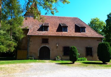
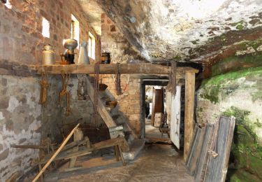
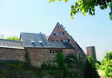
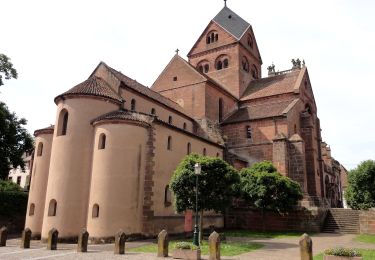
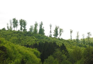
Randonnée Marche de 21 km à découvrir à Grand Est, Bas-Rhin, La Petite-Pierre. Cette randonnée est proposée par VacheKiri67.
Faite le 18/04/2014 avec notre fils de 9 ans et ses grand-parents André et Josephine. D'après : Guide Rother Alsace N°10 - De La Petite-Pierre aux maisons troglodytes à Graufthal.


A pied
A pied
A pied
A pied
A pied
A pied
A pied

A pied
A pied
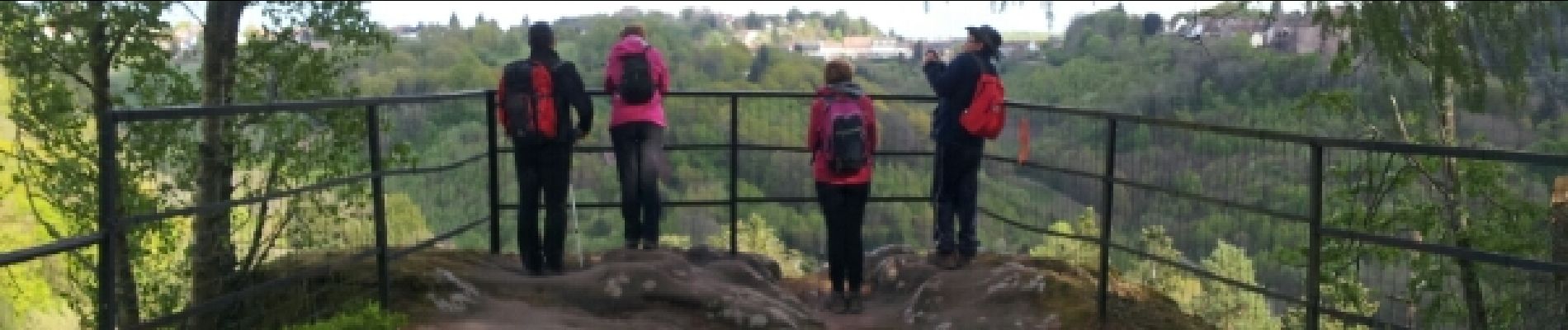
Bon balisage tout le long de la randonnée.