


16,6 km | 18,2 km-effort

Utilisateur


Application GPS de randonnée GRATUITE
 SityTrail
IGN / Instituts géographiques
SityTrail World
Le monde est à vous
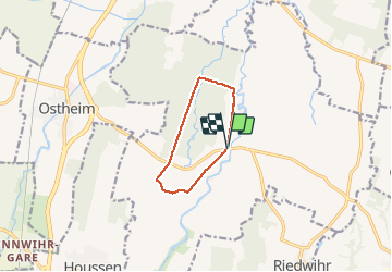
Randonnée Marche de 7,4 km à découvrir à Grand Est, Haut-Rhin, Colmar. Cette randonnée est proposée par zazie.
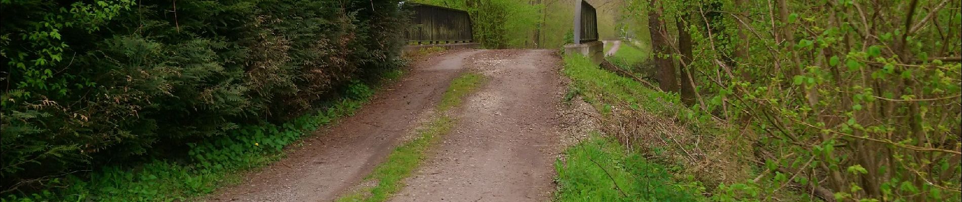
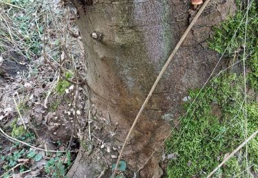
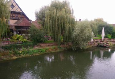
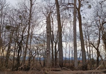
Randonnée en plaine alluviale et dans la forêt communale de Colmar


Marche
Marche
Marche
Marche
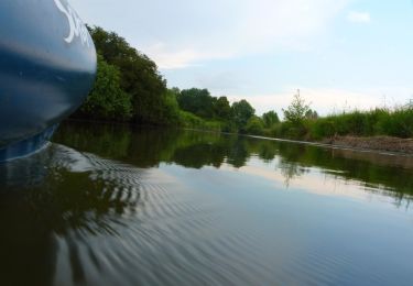
Canoë - kayak
Marche

Marche

Cheval