


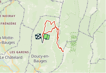

13,1 km | 24 km-effort

Utilisateur


Application GPS de randonnée GRATUITE
 SityTrail
IGN / Instituts géographiques
SityTrail World
Le monde est à vous
Randonnée Marche de 15,4 km à découvrir à Auvergne-Rhône-Alpes, Savoie, Doucy-en-Bauges. Cette randonnée est proposée par dchauprade.
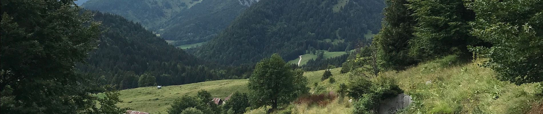
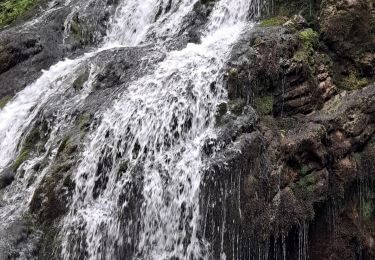
Depuis le parking montée dans le bois en période de pluie cette montée est très glissante et raide.
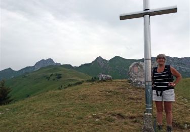
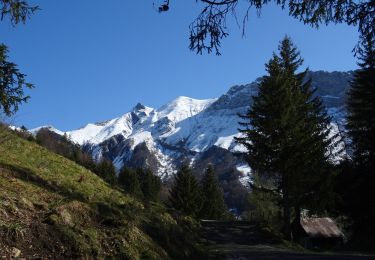
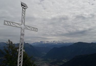
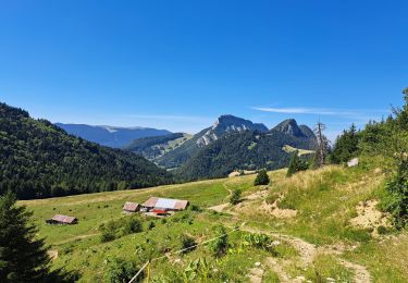
Le paysage en haut du mont est magnifique: vue sur les sommets des Alpes , Mont Blanc, grande Casse …


Marche

Marche

Marche
Marche
Marche
Marche
Marche
Marche
Marche