


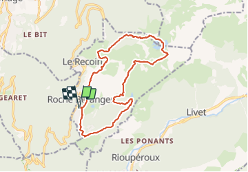

11,4 km | 20 km-effort

Utilisateur


Application GPS de randonnée GRATUITE
 SityTrail
IGN / Instituts géographiques
SityTrail World
Le monde est à vous
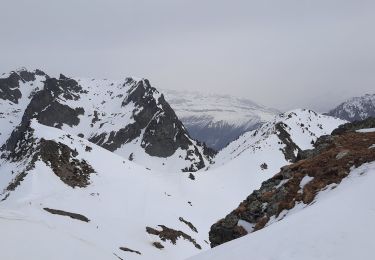
Randonnée Marche de 17,7 km à découvrir à Auvergne-Rhône-Alpes, Isère, Chamrousse. Cette randonnée est proposée par flip38.
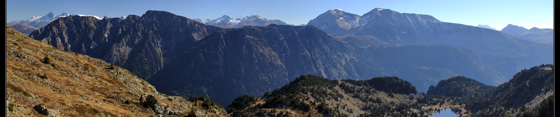
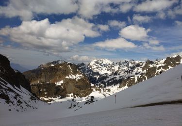
Belle boucle automnale vers le sommet de la Croix de Chamrousse.
Visite des lacs du coin et un beau panorama, même si on traverse en partie les pistes de la station de Chamrousse.
D'autres informations sur mon site : http://surlessommets.blog.free.fr/


Marche
A pied
A pied
A pied

Marche
Marche
Ski de randonnée
Marche
Marche