


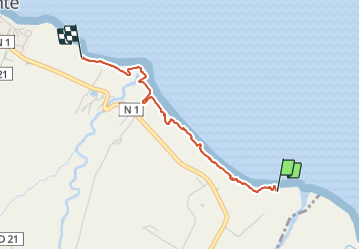

13,2 km | 16,5 km-effort

Utilisateur GUIDE


Application GPS de randonnée GRATUITE
 SityTrail
IGN / Instituts géographiques
SityTrail World
Le monde est à vous
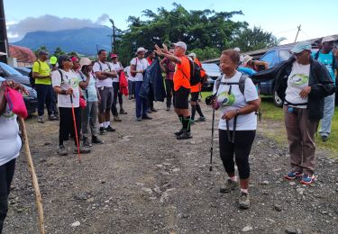
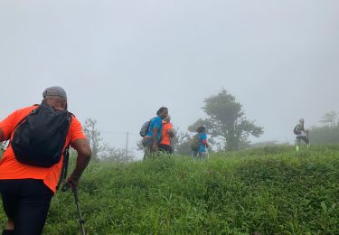
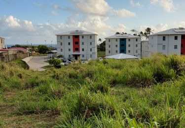
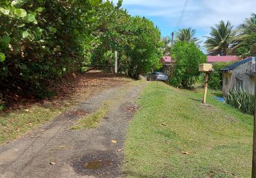
Randonnée Marche de 3,3 km à découvrir à Martinique, Inconnu, Basse-Pointe. Cette randonnée est proposée par Lamartiniere.
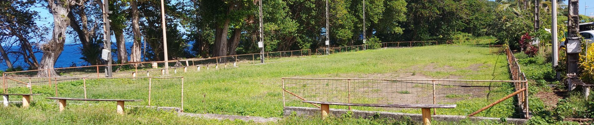
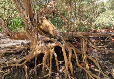
Vérifications, nettoyage et rafraîchissement des balises GR sur cette portion du littoral. Circuit dans l'ensemble propre.


Marche
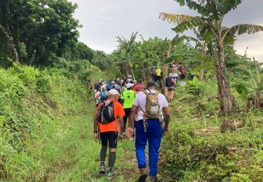
Marche
Marche
Marche
Marche
Marche
Marche
Marche
Marche