


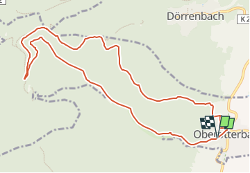

6,5 km | 9,6 km-effort


Tous les sentiers balisés d’Europe GUIDE+


Application GPS de randonnée GRATUITE
 SityTrail
IGN / Instituts géographiques
SityTrail World
Le monde est à vous
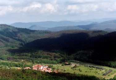
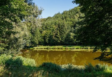
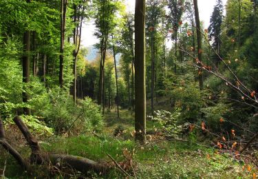
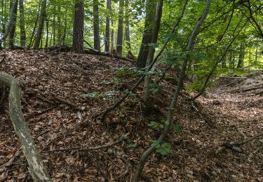
Randonnée A pied de 11,4 km à découvrir à Rhénanie-Palatinat, Landkreis Südliche Weinstraße, Oberotterbach. Cette randonnée est proposée par SityTrail - itinéraires balisés pédestres.
Symbole: violettes Buch auf weißem Grund


A pied
A pied
A pied
A pied

A pied
A pied
A pied
A pied
A pied