


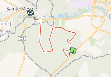

4,5 km | 4,9 km-effort

Tous les sentiers balisés d’Europe PRO


Application GPS de randonnée GRATUITE
 SityTrail
IGN / Instituts géographiques
SityTrail World
Le monde est à vous
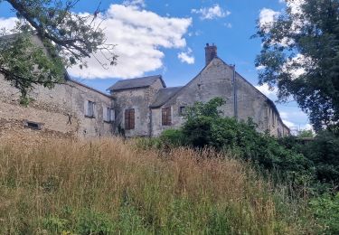
Randonnée A pied de 5,8 km à découvrir à Île-de-France, Essonne, Dourdan. Cette randonnée est proposée par SityTrail - itinéraires balisés pédestres.
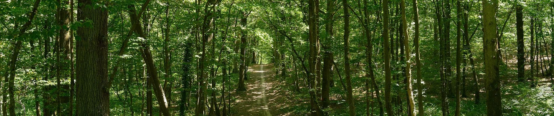
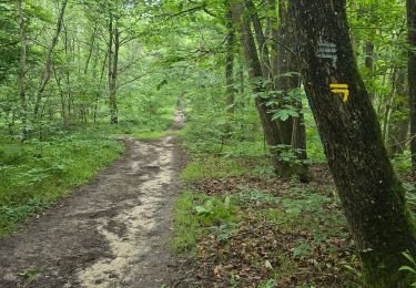
balisage orange en forêt de Dourdan à rattacher aux bons itinéraires
Symbole: orange


A pied

Marche nordique

Marche
Marche
Marche
A pied
Marche
A pied
Marche nordique