


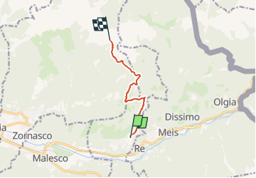

4,2 km | 12,8 km-effort


Tous les sentiers balisés d’Europe PRO


Application GPS de randonnée GRATUITE
 SityTrail
IGN / Instituts géographiques
SityTrail World
Le monde est à vous
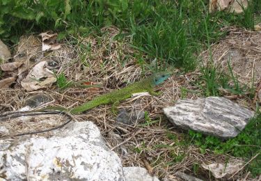
Randonnée A pied de 6,2 km à découvrir à Piémont, Verbano-Cusio-Ossola, Villette. Cette randonnée est proposée par SityTrail - itinéraires balisés pédestres.
Symbole: M37 on white red flags
Site web: http://www.estmonterosa.it/catasto-percorsi-vco-valle-vigezzo-settore-m.html


A pied

A pied

A pied
A pied
A pied

A pied
A pied
A pied

A pied