


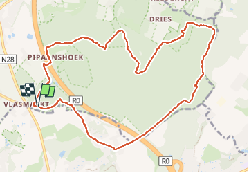

17,1 km | 22 km-effort

Utilisateur


Application GPS de randonnée GRATUITE
 SityTrail
IGN / Instituts géographiques
SityTrail World
Le monde est à vous
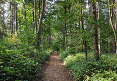
Randonnée Marche de 11,2 km à découvrir à Flandre, Brabant flamand, Hal. Cette randonnée est proposée par griffet.
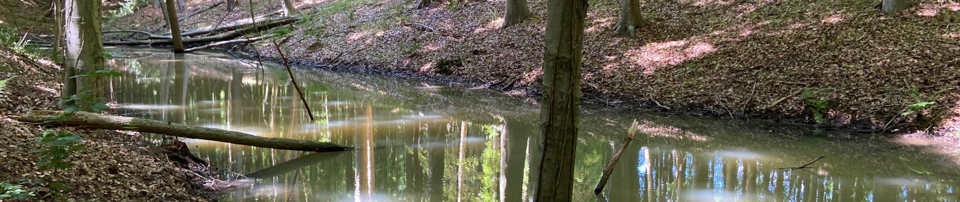
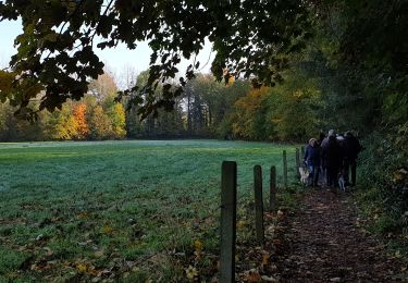
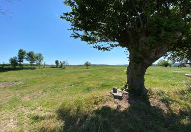
Un magnifique tour dans le bois de Halle par les vergers, la promenade Reebok et la promenade des Séquoias. 3h30 de pur bonheur (avec les arrêts :-))


Marche

Marche

Marche
Marche

Marche

Marche

Marche
Marche
Marche