


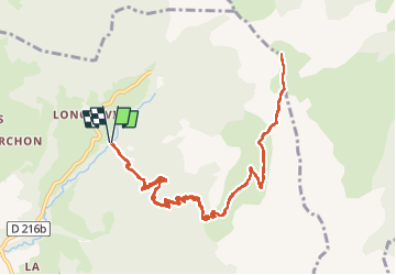

10,3 km | 24 km-effort

Utilisateur


Application GPS de randonnée GRATUITE
 SityTrail
IGN / Instituts géographiques
SityTrail World
Le monde est à vous
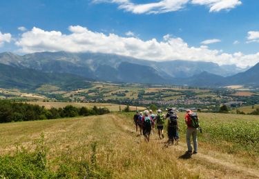
Randonnée Marche de 13,3 km à découvrir à Auvergne-Rhône-Alpes, Isère, Saint-Baudille-et-Pipet. Cette randonnée est proposée par TOULAUDIN.
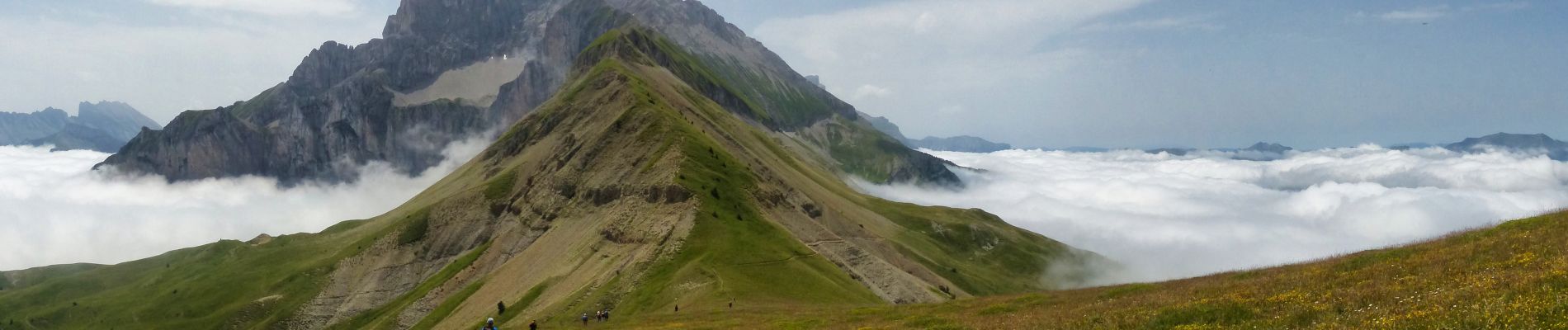
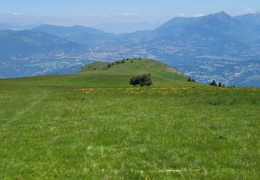
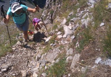
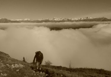
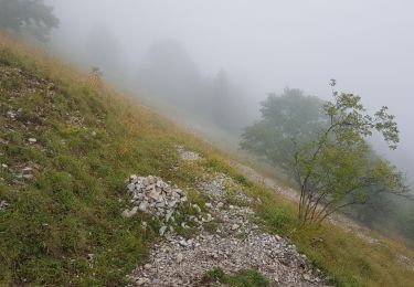
rando effectuée lors du séjour Esclops dans le trièves , nuages bas donc montée dans la brume ,mais découvert en Altitude magnifique mais ça se mérite car 1000M de dénivelé sur 6.5KM
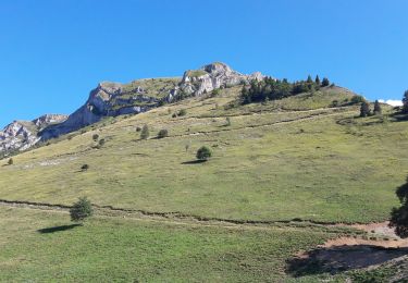
ça grimpe très raide.c'est un A/R


Marche
Marche
Marche
Marche

Marche
Vélo électrique
Marche
Marche
Marche