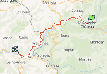


18,4 km | 27 km-effort

Utilisateur


Application GPS de randonnée GRATUITE
 SityTrail
IGN / Instituts géographiques
SityTrail World
Le monde est à vous
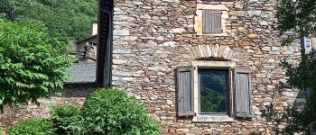
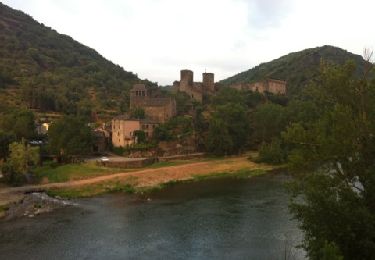
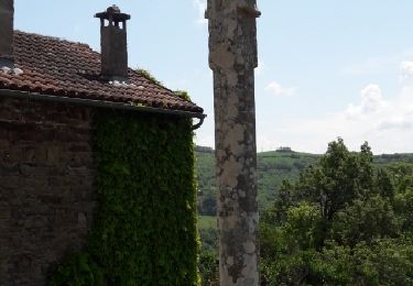
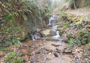
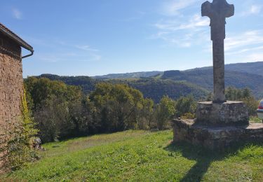
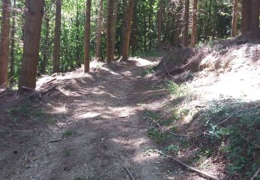
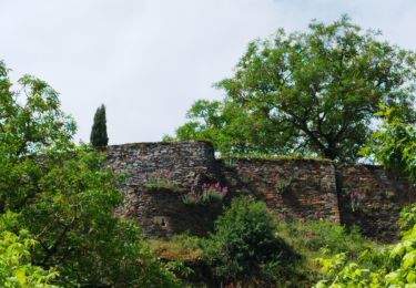
Randonnée Marche de 23 km à découvrir à Occitanie, Aveyron, Brousse-le-Château. Cette randonnée est proposée par canardDenis.
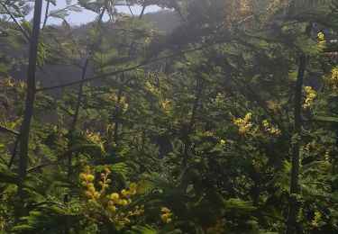
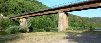
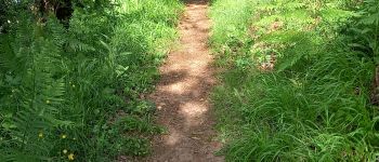
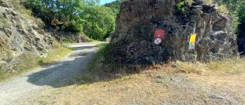
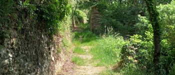
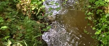
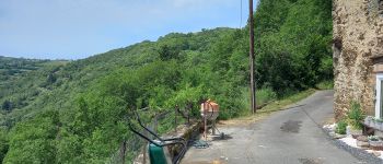
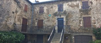
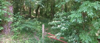
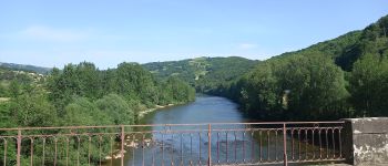
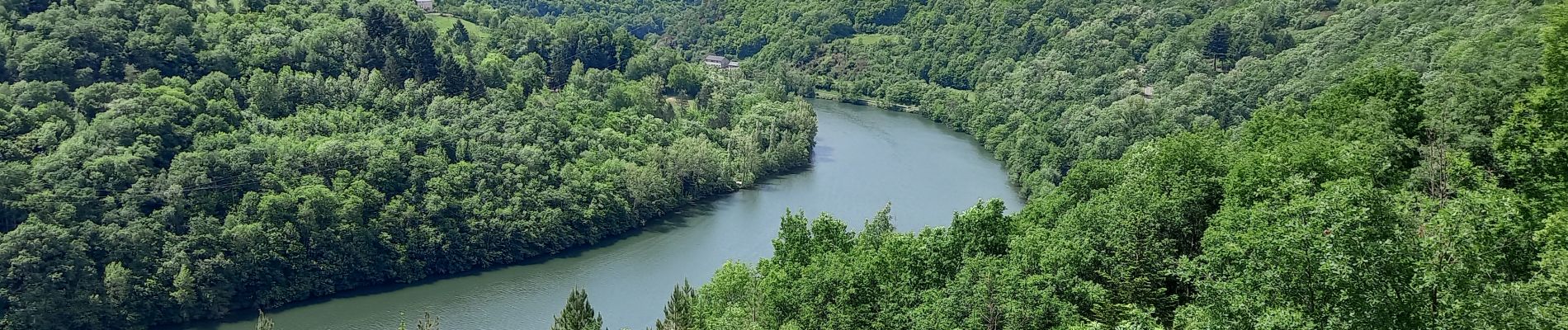
Suivre le Tarn au bord de l'eau depuis Brousse-le-Château puis Lincou. Le voir de plus haut en continuant à grimper en Rive Droite par des hameaux endormis pour redescendre après le 4ème barrage des Raspes, celui de La Croux et se reposer en Rive Gauche à Curvalle.

Marche
Marche
Marche
Marche
Marche

Marche
Marche