


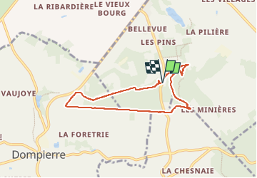

13,3 km | 16,5 km-effort

Utilisateur


Application GPS de randonnée GRATUITE
 SityTrail
IGN / Instituts géographiques
SityTrail World
Le monde est à vous
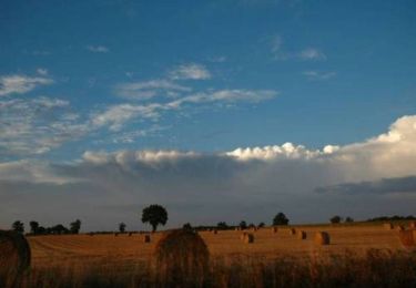
Randonnée Marche de 6,4 km à découvrir à Normandie, Orne, La Ferrière-aux-Étangs. Cette randonnée est proposée par Jeromefrando.

Marche
Marche
Marche

V.T.T.

Marche
Marche