


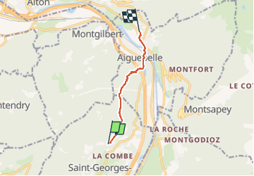

7,7 km | 28 km-effort


Utilisateur


Application GPS de randonnée GRATUITE
 SityTrail
IGN / Instituts géographiques
SityTrail World
Le monde est à vous
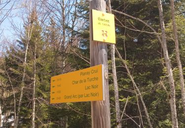
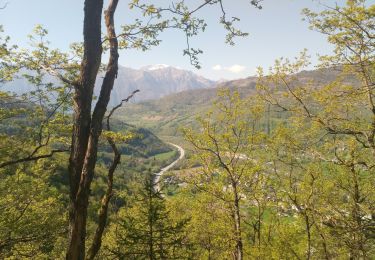
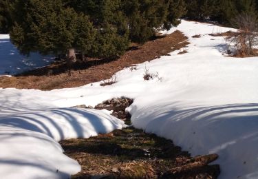
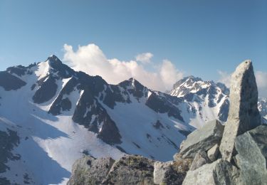
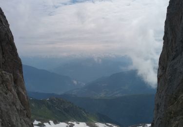
Randonnée Marche de 5,8 km à découvrir à Auvergne-Rhône-Alpes, Savoie, Saint-Georges-d'Hurtières. Cette randonnée est proposée par jibebouvier.
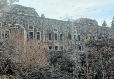
bien roulant au début, puis j'ai coupé à travers bois, feuilles cailloux branches, faut faire attention aux chevilles ;-)

Marche
Marche
Marche
Marche
Marche
Marche
Marche
Marche
Marche