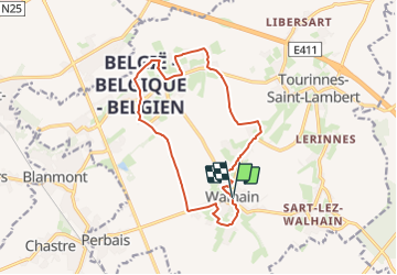


6,6 km | 7,8 km-effort


Utilisateur


Application GPS de randonnée GRATUITE
 SityTrail
IGN / Instituts géographiques
SityTrail World
Le monde est à vous
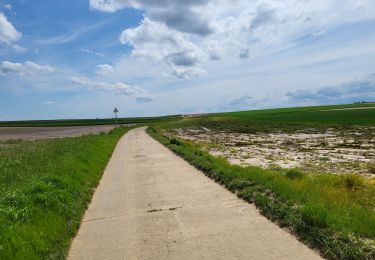
Randonnée Marche de 13,2 km à découvrir à Wallonie, Brabant wallon, Walhain. Cette randonnée est proposée par calofrancis.
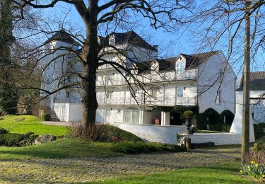
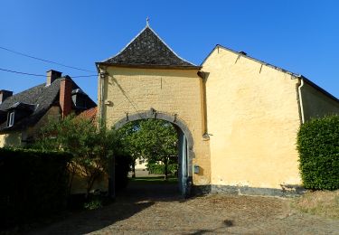
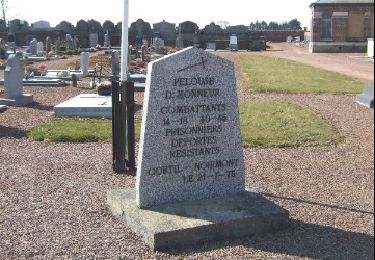
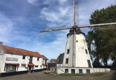
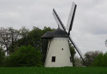
Les Sources du Nil, centre géographique de la Belgique, Château de Walhain, Chateau Saint Martin, Moulin du Tiège ...
Marche
Marche
A pied

Marche
Marche
Marche
Marche
Marche