


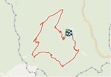

8,9 km | 17,3 km-effort

Utilisateur


Application GPS de randonnée GRATUITE
 SityTrail
IGN / Instituts géographiques
SityTrail World
Le monde est à vous
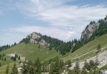
Randonnée Marche de 10,7 km à découvrir à Auvergne-Rhône-Alpes, Isère, Saint-Laurent-du-Pont. Cette randonnée est proposée par bymarc26.
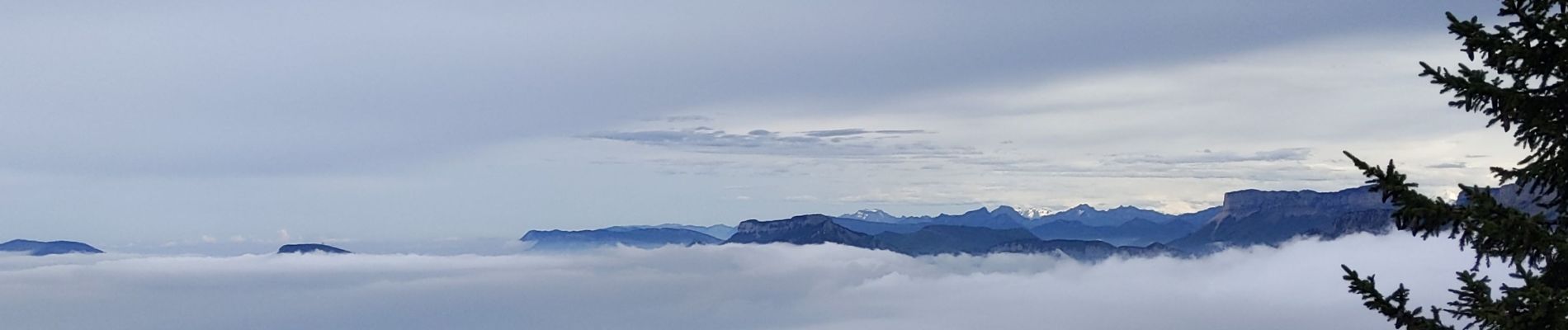
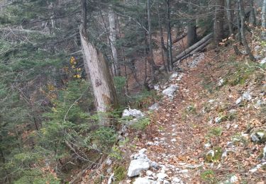
Attention au terrain glissant
Classé pour cette raison en difficile


Marche

Marche

Marche

Marche
Marche
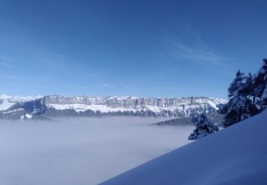
Ski de randonnée

Marche

Marche
Marche