


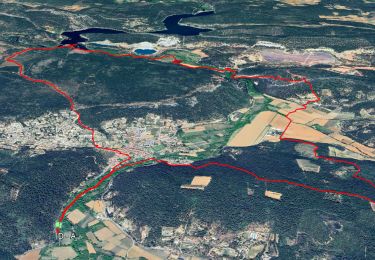
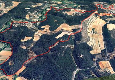
15,3 km | 21 km-effort


Utilisateur


Application GPS de randonnée GRATUITE
 SityTrail
IGN / Instituts géographiques
SityTrail World
Le monde est à vous
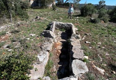
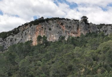
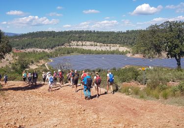
Randonnée Marche de 13,1 km à découvrir à Provence-Alpes-Côte d'Azur, Var, Le Thoronet. Cette randonnée est proposée par marieamelie.
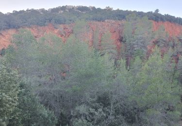
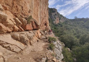
Attention passage difficile avec main courante vers les habitations troglodytiques du Trou des fées. Il y a une possibilité de contourner par un chemin en contrebas.
A pied

Marche
Marche
Marche
Marche

Marche

sport
Marche
Marche