


8,2 km | 11,4 km-effort

Utilisateur


Application GPS de randonnée GRATUITE
 SityTrail
IGN / Instituts géographiques
SityTrail World
Le monde est à vous
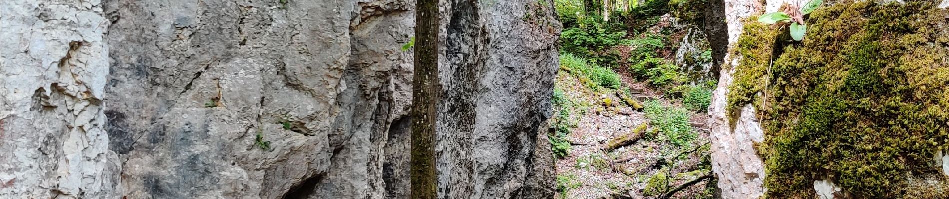
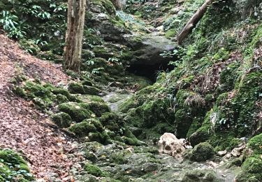
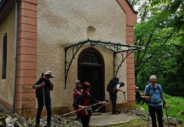
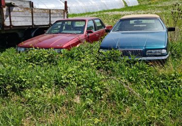
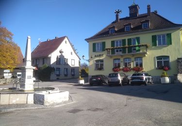
Randonnée Marche de 13,4 km à découvrir à Grand Est, Haut-Rhin, Oltingue. Cette randonnée est proposée par sitykathy.
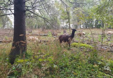
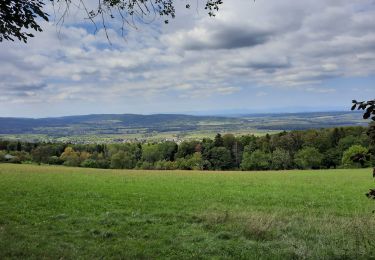
Belle randonnée avec des merveilleuses vues


Marche
Marche
Marche
Marche
Marche
Marche

Cheval
Marche
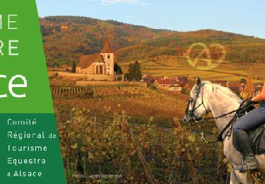
Randonnée équestre