


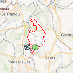


27 km | 32 km-effort


Utilisateur


Application GPS de randonnée GRATUITE
 SityTrail
IGN / Instituts géographiques
SityTrail World
Le monde est à vous
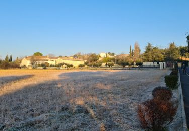
Randonnée Marche de 11,5 km à découvrir à Occitanie, Hérault, Saint-Vincent-de-Barbeyrargues. Cette randonnée est proposée par vasta.
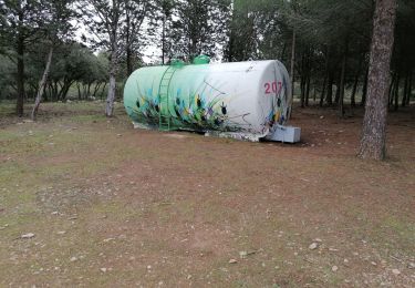
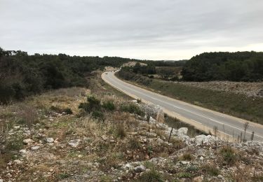
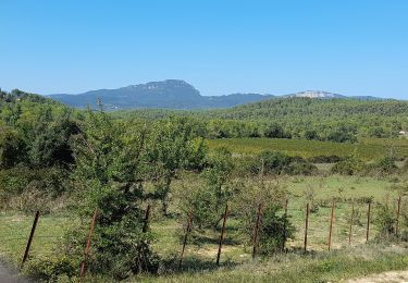
Combe et Puech Point de vue sur le Pic St.Loup,belles pinèdes, barrage .
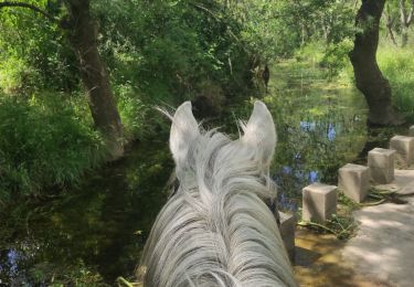
Randonnée équestre

A pied

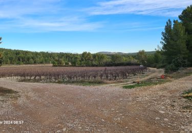
V.T.T.
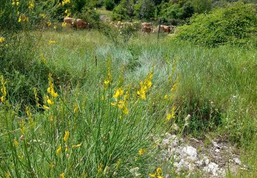
Marche
Marche