


8,4 km | 11,8 km-effort


Utilisateur


Application GPS de randonnée GRATUITE
 SityTrail
IGN / Instituts géographiques
SityTrail World
Le monde est à vous
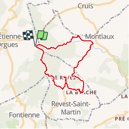
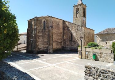
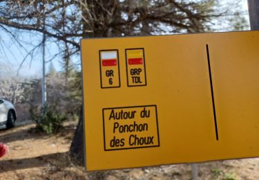
Randonnée Marche de 14,8 km à découvrir à Provence-Alpes-Côte d'Azur, Alpes-de-Haute-Provence, Saint-Étienne-les-Orgues. Cette randonnée est proposée par lviallet.
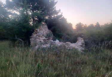
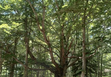
Le long du Lauzon...
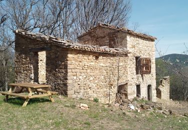
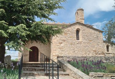
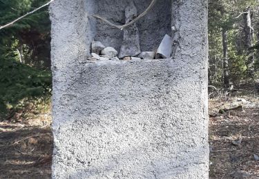
La Blache: Très jolie Hameau classé avec une pompe à essence d'un ancien temps!...
Marche
Marche
Marche
Marche
Marche
Marche

Marche
Marche
Marche
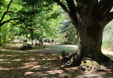
super balade