


12,8 km | 16,3 km-effort
Thorame-Haute: Scopri i migliori percorsi: 1 sci di fondo e 4 racchette da neve. Tutti questi percorsi, itinerari e attività outdoor sono disponibili nelle nostre app SityTrail per smartphone e tablet.
Sci di fondo


Racchette da neve

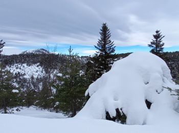
Racchette da neve
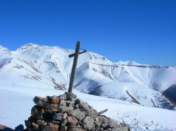
• A/R montée régulière en neige et vent très fort
Racchette da neve
Racchette da neve
5 percorsi visualizzati su 5
Applicazione GPS da escursionismo GRATUITA
 SityTrail
IGN / Istituti geografici
SityTrail World
Il mondo è tuo