


92 km | 92 km-effort
Paesi della Loira: Scopri i migliori percorsi: 3 motoscafo, 5 barca a vela e 5 canoa - kayak. Tutti questi percorsi, itinerari e attività outdoor sono disponibili nelle nostre app SityTrail per smartphone e tablet.
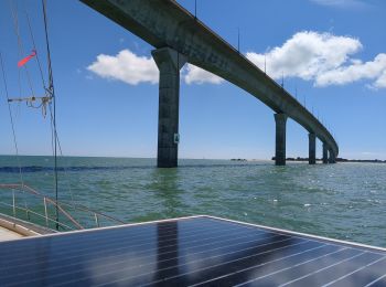
Barca a vela


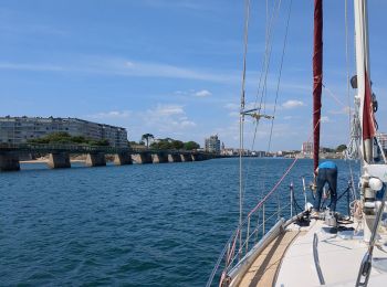
Barca a vela
Barca a vela
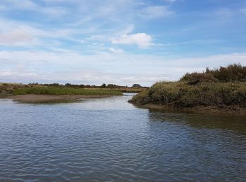
Canoa - kayak

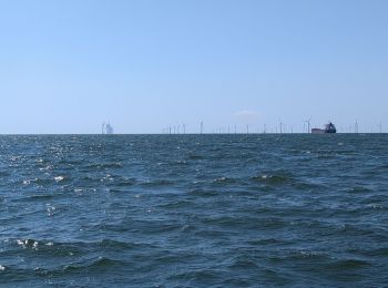
Motoscafo
Canoa - kayak
Motoscafo
Canoa - kayak
Canoa - kayak
Barca a vela
Barca a vela
Canoa - kayak
Motoscafo
13 percorsi visualizzati su 13
Applicazione GPS da escursionismo GRATUITA
 SityTrail
IGN / Istituti geografici
SityTrail World
Il mondo è tuo